4D - GLEN PEAN
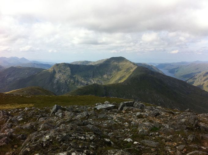
Looking back along the ridge to Sgurr nan Coireachean. Photo Colin Lamont
9.2 miles 1330 metres
Start Monday 19.19
Sgurr nan Coireachan 20.48
Sgurr Thuilm 21.20
Finish 21.35
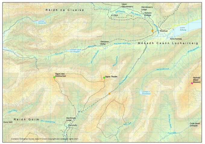
Squares: yellow - changeovers. Circles summits: green this leg, purple - to do. Map Colin Matheson
Time: Estimated 2.28 Actual 2.16
A year ago to the day I covered this ground in a heatwave concerned about the effect the heat might have on us this year. Today however was almost a replica of last night – I was aware of a front coming in and felt the first drop of rain 8 minutes after the start. However despite the rain we've had the river was lower than last year.
The run was also similar to yesterday in that it started with a long track run, although after considerable up and down, it was a bit demoralising after 30 minutes to find myself precisely 15 metres higher than the start.
I had intended to go up by a previously followed stream, but realised en route that it would be quicker to stay longer on the glen floor. The ascent was brilliant. I picked off the streams and spurs to a tee until I reached the cloud on the ridge. 89 minutes saw me touching the trig point and setting off back down.
Last year I found an excellent contour round Beinn Garbh, but it was not so obvious going west to east. I ended up crossing crags which may have been marginally faster than going over the top.Looking back from the next col I could see my grassy ramp just a bit lower down!
The rain came on in earnest so I put on my cagoule for the final climb, only to find my route relatively sheltered. However on turning south for the descent I realised the severity of it blowing straight into my face, but for just 4 minutes it was invigorating.
My computer had thrown up a descent time of 11 minutes – impossible for nearly 2000 feet of descent. After traversing a few massive boulderfields, I suddenly hit the top of the real slope and saw Ross' orange bivvy seemingly under my feet. It seemed steep climbing here last year – now it felt marginal that I could remain on my feet, but I made the descent jubilantly in 14 minutes.
I did not have far to walk as Ross had gallantly pushed the bike up to the very end of what was remotely cycleable on his way up.
Peaks done 35 Hours elapsed 38 Peaks to do 242
There is no charge for reading this account but please consider donating to the RNIB, the charity we ran for.
Share this page

